
Shining Tor - Peak District Walk
Tuesday 7th May 2024
As it has finally stopped raining and the paths have had a chance to dry out we decided to venture back into the Peak District today. The mud-fest that it has appeared to be since last November has held no appeal for me and on the few times we have had a prolonged dry spell we have been unable to get out walking. Today's walk was surprisingly quiet, we passed very few people, despite it being one of the more popular routes in the Peak District.
Start: Errwood Hall car park (SK 0124 7480)
Route: Errwood Hall car park - Shooter's Clough - Stake Side - Shining Tor (TP) - The Tors - Cats Tor - Pym Chair - Foxlow Edge - Errwood Hall - Errwood Hall car park
Distance: 6.5 miles Ascent: 393 metres Time Taken: 3 hrs 50 mins
Terrain: Clear paths
Weather: Warm and dry with a cool breeze on the top.
Pub Visited: None Ale Drunk: None
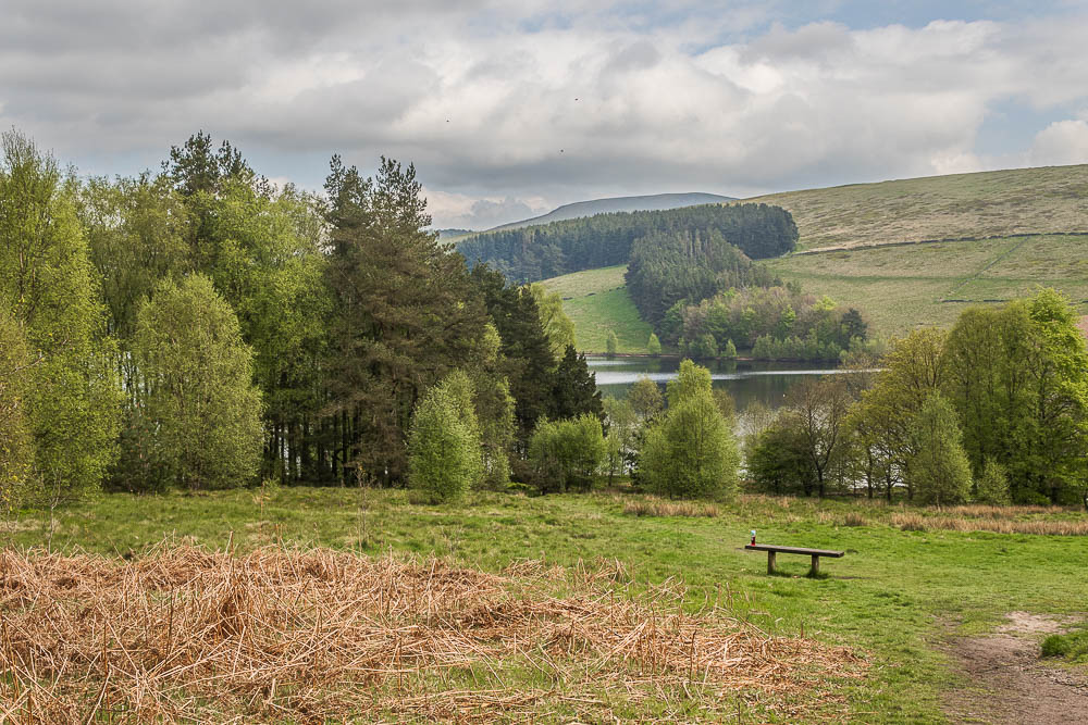
Setting off from the car park we pass the bench and look back across Errwood Reservior before we disappear into the wood.

Just as we enter the wood we notice the new track that has been laid, more alterations to add to those we spotted on our last visit.
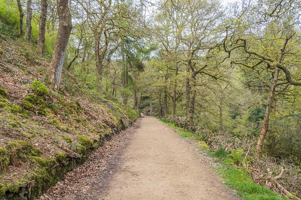
Possibly the track has been installed to help with the removal of the rhododendrons which seem to have been cut back recently.
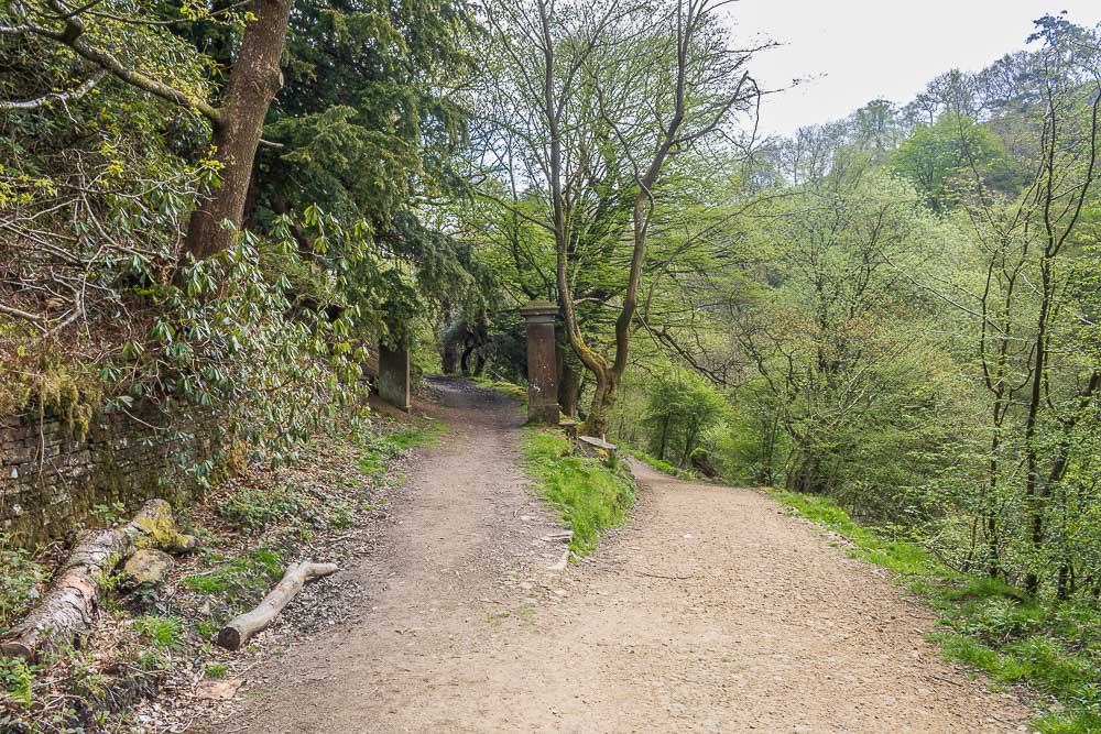
Rather than turn and pass the remains of Errwood Hall we continue straight on until we pass the old gate posts that were once the rear entrance to the hall.
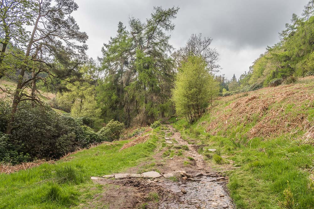
We soon take the track which will lead us to Shooter's Clough.
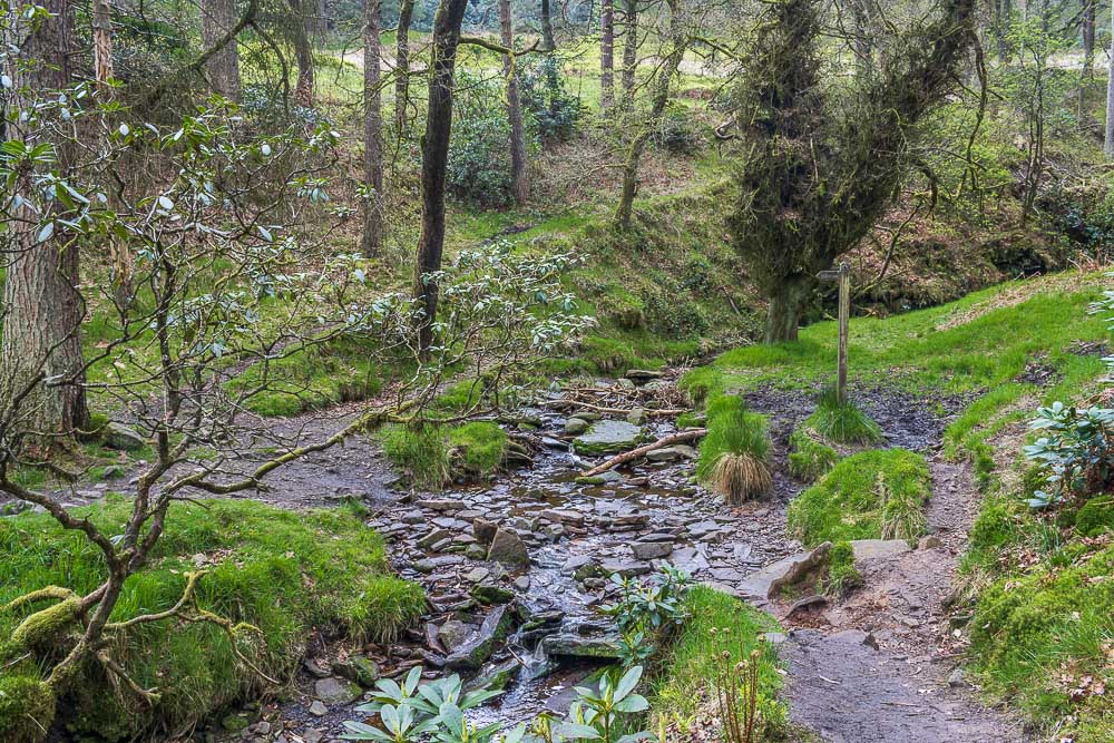
We cross the unnamed stream in Shooter's Clough quite easily.
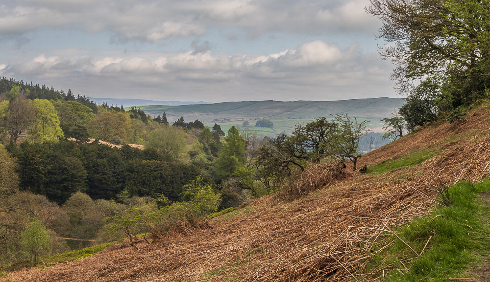
As we start to climb we can see across the valley to the area where Wainstones and the Hanging Rock are located on the map. Cyclists know this area as Long Hill.
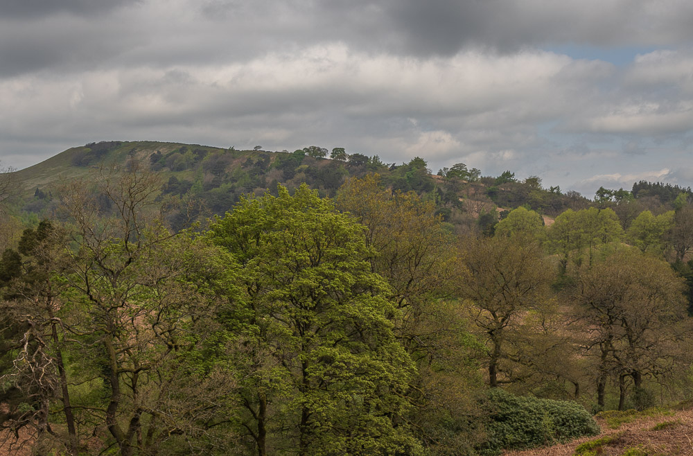
We can also see Foxlow Edge, which will be our return route.
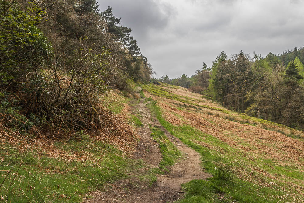
We continue to climb up Shooter's Clough, only meeting one other couple using this route.
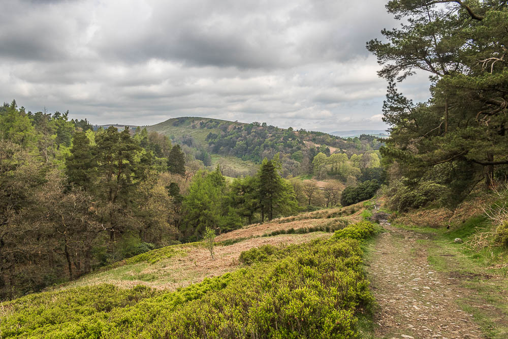
Looking back down Shooter's Clough before the path turns towards Stake Side.
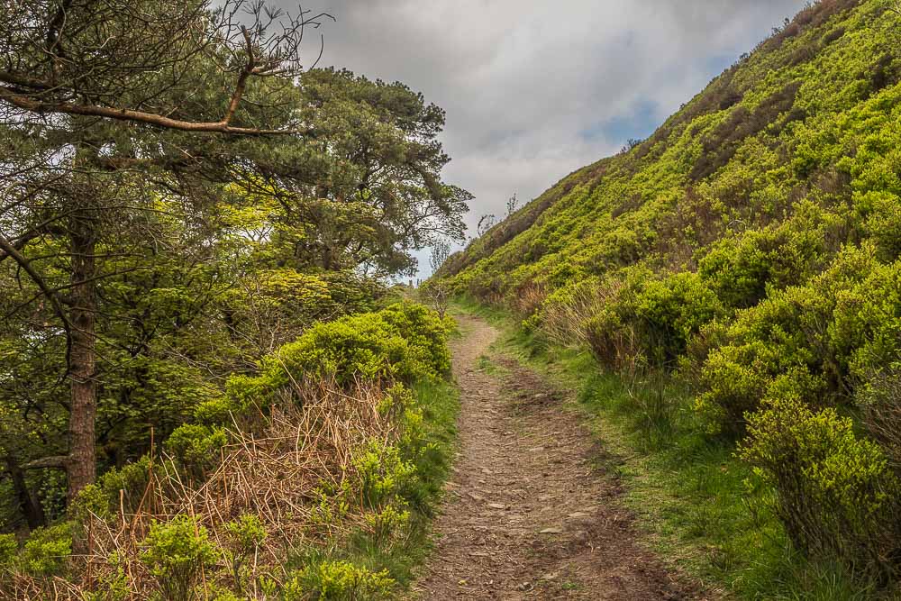
The gate onto Stake Side is soon in view.
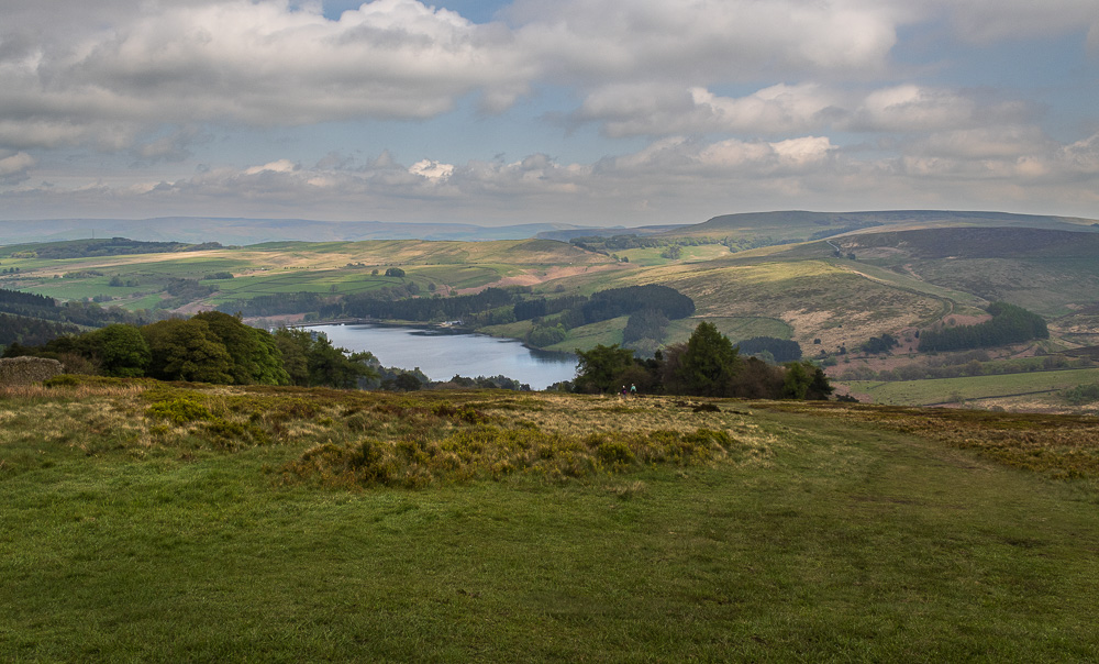
Now we have left Shooter's Clough we can see across Errwood Reservoir to Combs Moss and a very hazy Great Ridge.
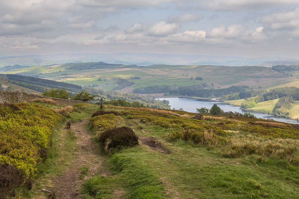
As we continue to climb up Stake Side the views across the reservoir change, here looking across Ladder Hill to a hazy Kinder.

As we reach the sign where we turn for Shining Tor we can look across the Cat & Fiddle to Axe Edge Moor and Whetstone Ridge.
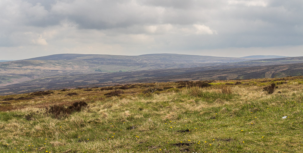
Axe Edge and Axe Edge Moor across the Cat and Fiddle Road.
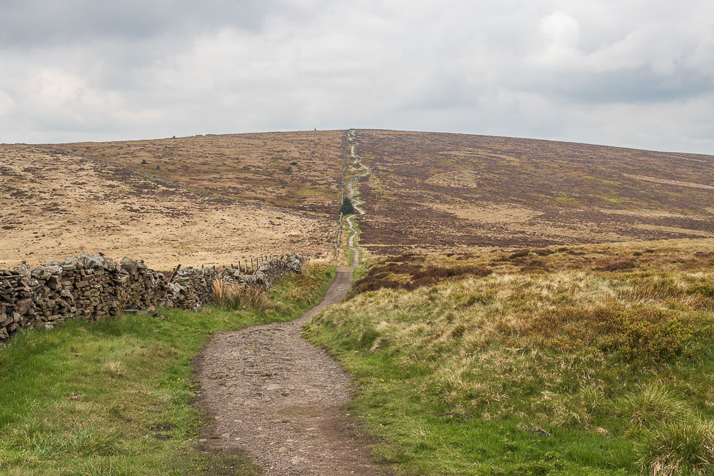
Ahead of us one last climb before lunch at the trig on Shining Tor.
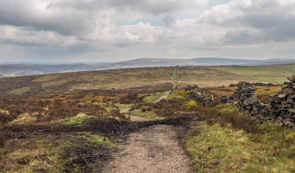
Looking back to Axe Edge Moor and Burbage Edge as we reach the top of the hill. It looks like the breaking clouds and blue sky we had been promised might be arriving, but I suppose the fact it isn't raining should be good enough.
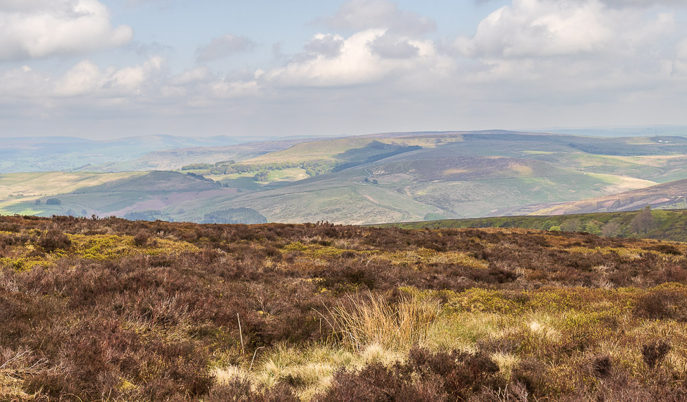
Looking across Shooter's Clough to Wild Moor and Combs Moss.

We cross into Cheshire to visit the trig at Shining Tor and to find a lunchspot that doesn't involve sitting in mud.
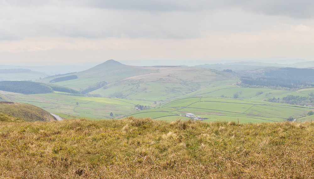
We have lunch looking across to Shutlingsloe, but the clouds and haze show no sign of clearing looking in this direction.
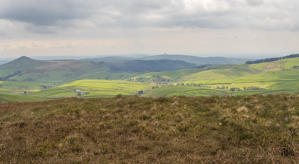
As we sit having lunch the haze clears a bit and Croker Hill emerges from the gloom.
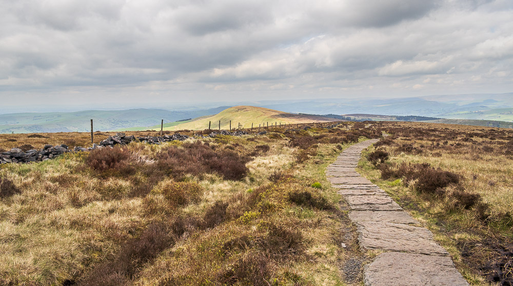
Lunch over we follow the path across The Tors heading to Cats Tor.
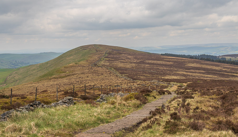
It is very quiet across here, we only see one person who is heading away from us.
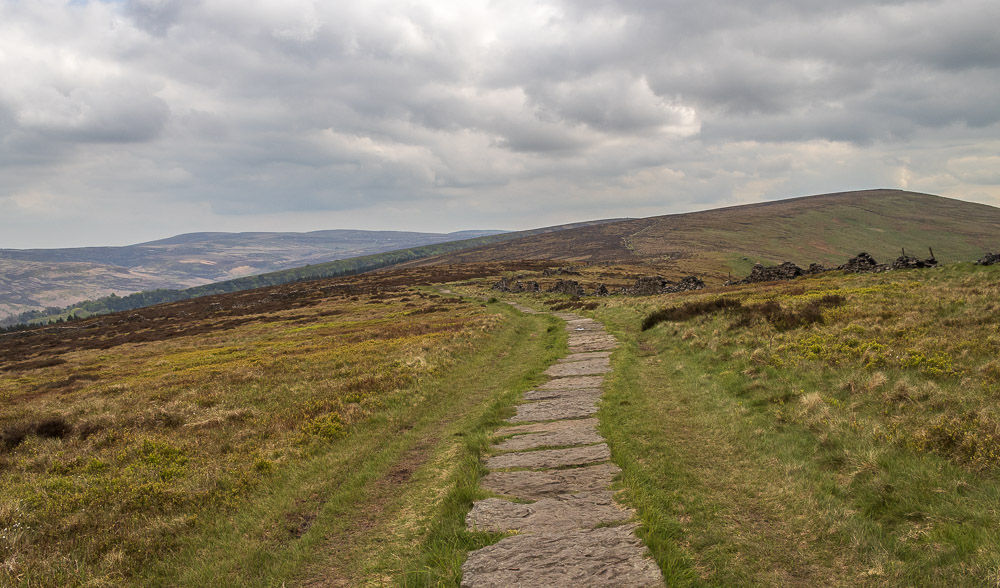
Looking back towards Shining Tor and all hope of the cloud disappearing fades as it appears to be building again.
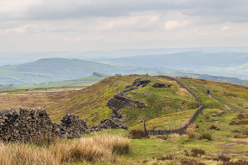
As we reach the top of Cats Tor Oldgate Nick and Windgather Rocks come into view.
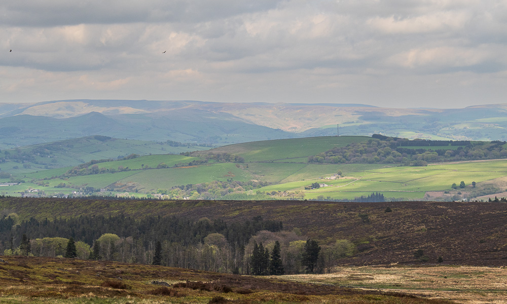
Looking across Ladder Hill you can just about make out Grindslow Knoll.
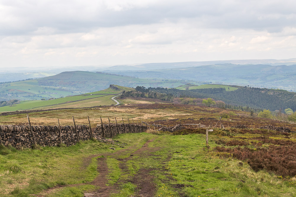
Looking across to Windgather Rocks as we approach The Street.
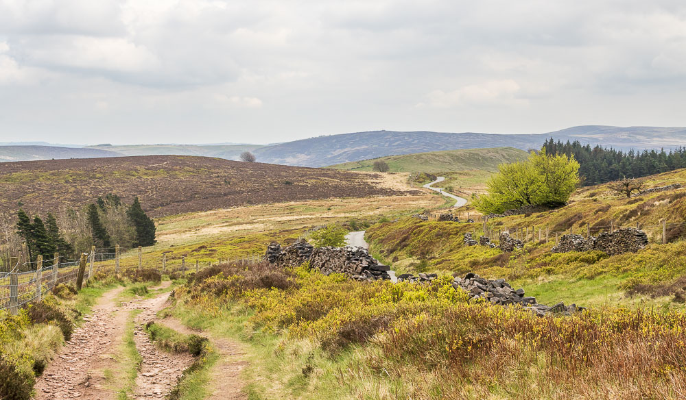
Heading down The Street to Foxlow Edge.
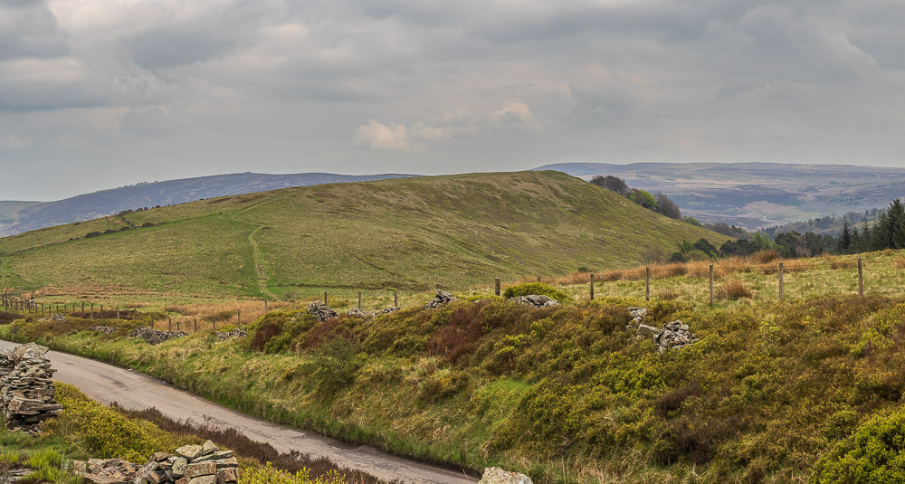
Foxlow Edge is soon reached.
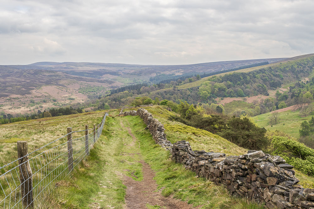
An easy climb soon sees us walking along the top of Foxlow Edge.
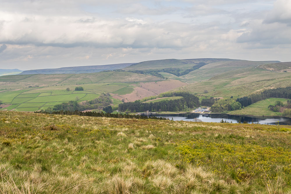
Looking across Goyt Valley from Foxlow Edge and with no sun there is little hope of getting any good reflections in Errwood Reservoir.
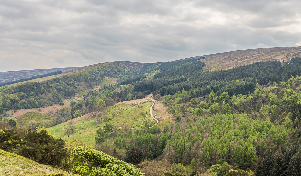
From Foxlow Edge we can see the path we followed up Shooter's Clough.

Rather than follow the edge all the way we drop off to go through the trees below the edge, for no other reason than to vary the route a bit from the last time we were here.
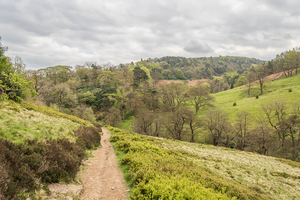
We soon reach the path running along the valley below Foxlow Edge.

We take the route we have always used to reach the ruins of Errwood Hall, but as I'd heard, the bridge that crossed this stream has now gone. Personally I had no difficulty crossing the stream, it might have been a different story if the water was higher, but I doubt it.
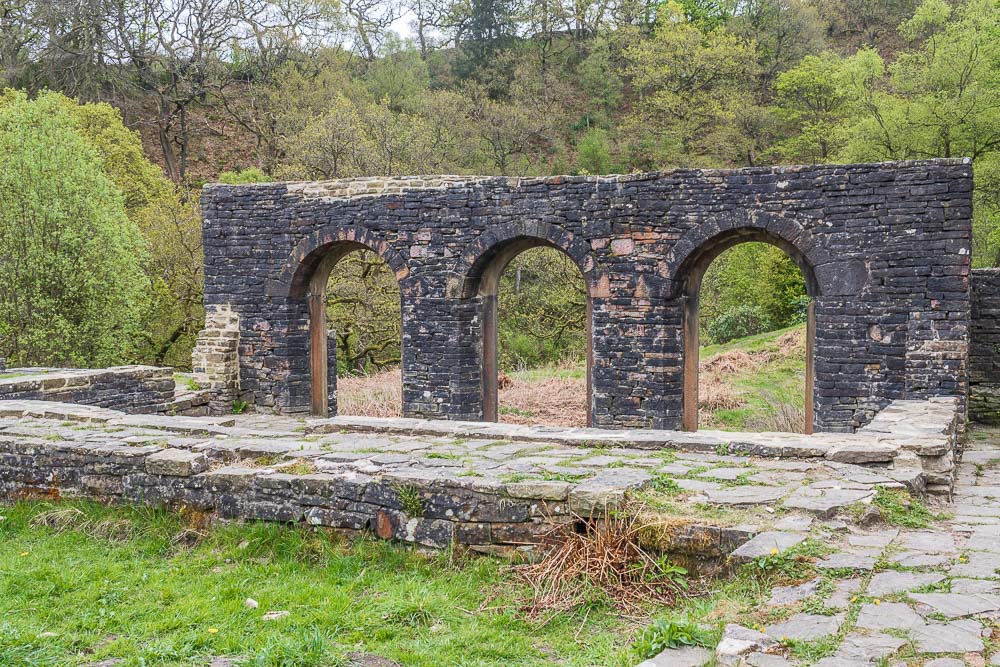
We soon reach the remains of Errwood Hall, but not without noticing that there has been some extensive clearing of the undergrowth and trees along the track from the stream to the hall. All that remains now is to retrace our steps back to the car.
All pictures copyright © Peak Walker 2006-2024